Credits
Every photograph on this site
Licences were checked on each source page on 18 November 2026. Most stills are public-domain photographs from NASA, NOAA, GOES/CIRA and the U.S. National Park Service. One composite is used under CC BY 4.0 (Japan Meteorological Agency Himawari-8, via Digital Typhoon), one spring photograph under CC BY 4.0, one midnight-sun still under CC0, and an axial-tilt diagram under CC BY 3.0.
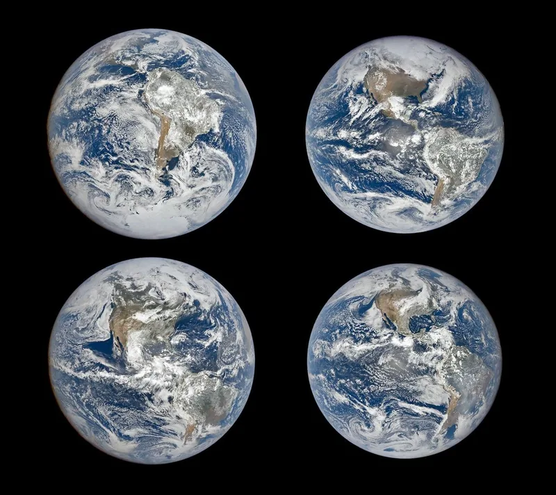
An Epic View of the Seasons, a NASA Earth Observatory still by Michala Garrison from EPIC on NOAA’s DSCOVR spacecraft, taken 22 September 2024. The official description: images show Earth on the December and June solstices and the March and September equinoxes, illustrating how the tilt of Earth’s axis shifts the continents’ apparent positions through the year. Satellite image: NASA Earth Observatory / Michala Garrison, EPIC on DSCOVR · Public domain · NASA Earth Observatory / Michala Garrison / Wikimedia Commons 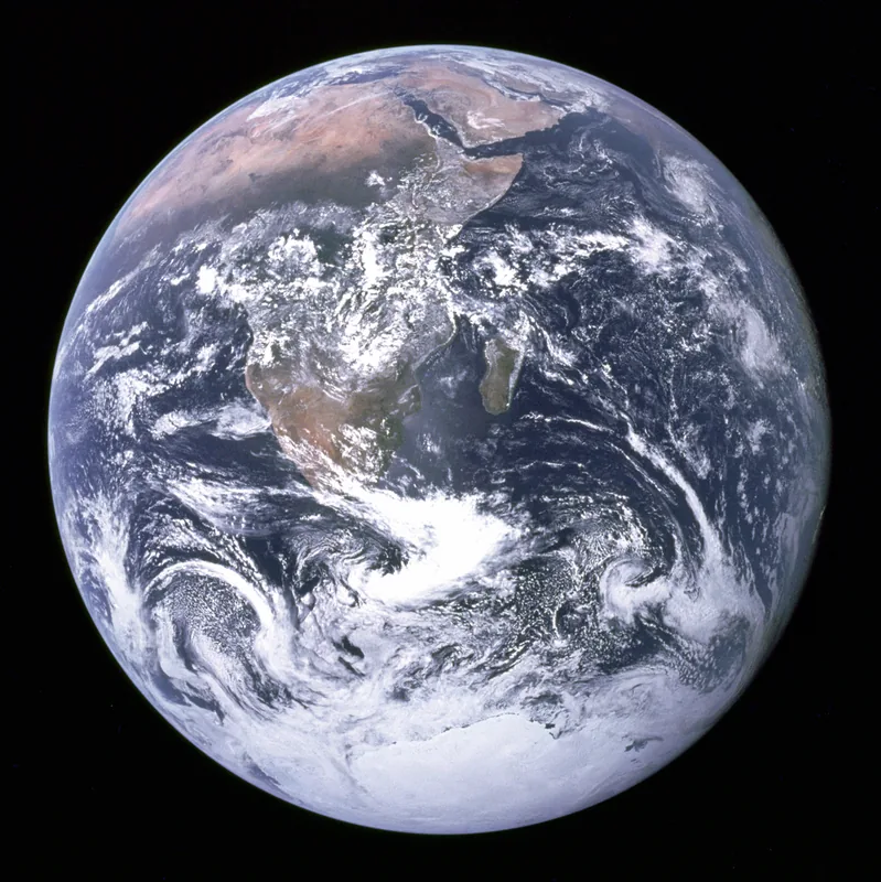
“The Blue Marble,” photographed on 7 December 1972 by the crew of Apollo 17, en route to the Moon, at a distance of about 29,400 kilometres (18,300 miles). The file description says it shows Africa, Antarctica and the Arabian Peninsula. Taken by either Harrison Schmitt or Ron Evans, in the wording of the file page. Spacecraft photograph: NASA / Apollo 17 crew (Harrison Schmitt or Ron Evans) · Public domain · NASA / Apollo 17 / Wikimedia Commons 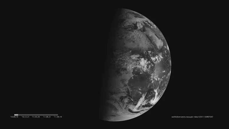
A still from “Seeing Equinoxes and Solstices from Space,” images acquired 21 December 2010 to 20 September 2011. The NASA resource, crediting NASA images and animation by Robert Simmon using data ©2010 EUMETSAT, says that on 20 March and 20 September the terminator is a straight north-south line, and that equinox means “equal night” in Latin. The same resource gives the axial tilt as 23.5 degrees; that figure is kept unblended with 23.4 and 23.44 on the why desk. Satellite image: NASA images and animation by Robert Simmon, using data ©2010 EUMETSAT (NASA GSFC file) · Public domain · NASA GSFC / Robert Simmon / EUMETSAT data / Wikimedia Commons 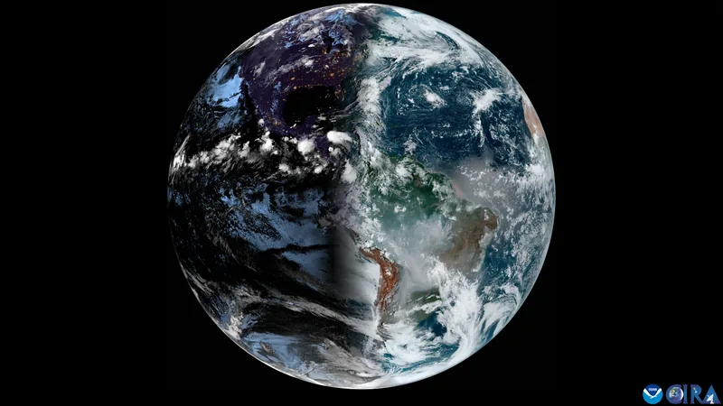
“Watch the Terminator Sway From Season to Season,” GOES imagery from CSU/CIRA and NOAA, taken on 22 September 2024. The file description, in its own wording, is: “On the fall 2024 equinox, we watch the terminator sway from to season.” The incomplete sentence is left as the file wrote it. Satellite image: CSU/CIRA and NOAA, GOES imagery · Public domain · CSU/CIRA & NOAA / Wikimedia Commons 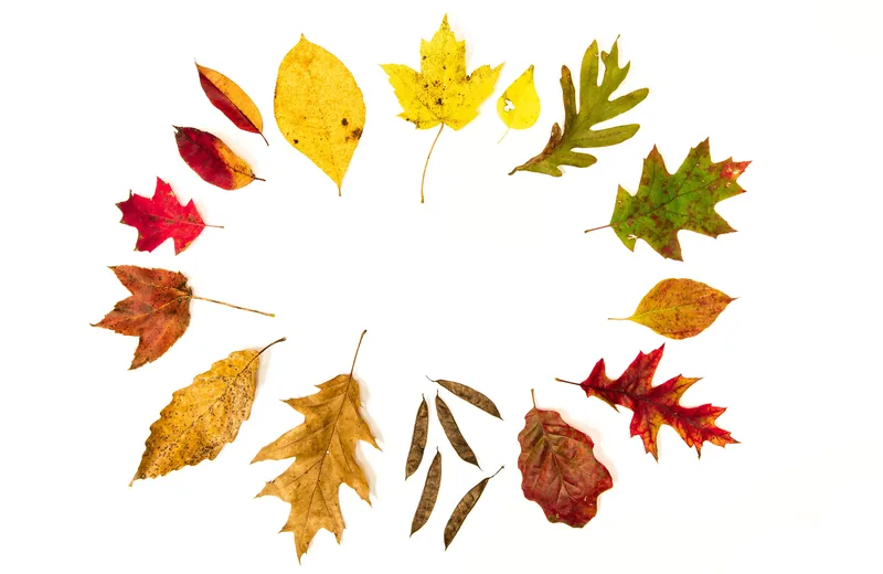
Autumn Leaves, a Shenandoah National Park photograph by Katy Cain, dated 26 October 2015. The file description is the credit line “SNP | Katy Cain.” No further scene caption was added. Photo: Katy Cain, Shenandoah National Park · Public domain · Shenandoah National Park / Katy Cain / Wikimedia Commons 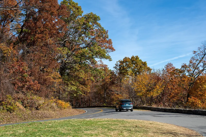
Autumn at Gooney Manor Overlook, a Shenandoah National Park photograph by Aidan Walker, taken on 3 November 2026. The file credit line is “NPS | Aidan Walker.” Photo: Aidan Walker, Shenandoah National Park · Public domain · Shenandoah National Park / Aidan Walker / Wikimedia Commons 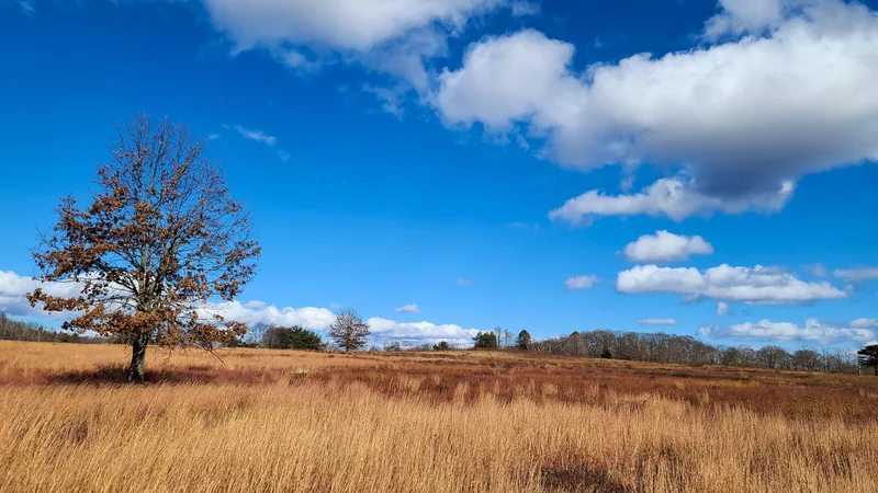
Late Autumn in Big Meadows, 1 November 2024, a Shenandoah National Park photograph. The file caption, by L. Ellis: “The leaves have fallen on the mountain.” Photo: L. Ellis, Shenandoah National Park · Public domain · Shenandoah National Park / L. Ellis / Wikimedia Commons 
The Tidal Basin in Washington, D.C., during the National Cherry Blossom Festival, photographed on 31 March 2026 by APK. Used under CC BY 4.0. The file description does not add a climate claim; it is a spring still, placed beside the Met Office’s meteorological spring (1 March to 31 May). Photo: APK · CC BY 4.0 · APK / Wikimedia Commons 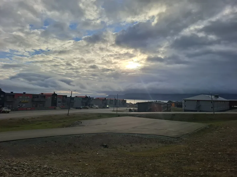
Midnight sun over Longyearbyen, Svalbard, 3 July 2026, at 1:06 a.m. (CEST), photographed by Kawon Kez Sel and released under CC0. The Met Office notes that the Arctic Circle has 24 hours of daylight at the June solstice; this July still is a later, credited view of that northern summer light, not a repeat of the Antarctic midnight-sun photographs on polar.climates.im. Photo: Kawon Kez Sel · CC0 · Kawon Kez Sel / Wikimedia Commons 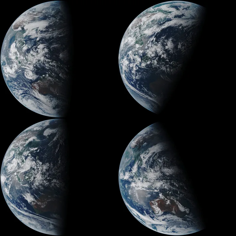
A Himawari-8 composite, dated 15 September 2022 on the file page, used under CC BY 4.0. The file description: Japan’s Himawari-8 geostationary satellite captured the illumination of Earth at each change of astronomical season throughout 2021 and 2022. The March equinox is upper left, the June solstice upper right, the September equinox lower left, and the December solstice lower right; the images were all taken at 08:00 UTC on the days of the equinoxes and solstices. Satellite composite: Japan Meteorological Agency, Himawari-8 AHI, via Digital Typhoon · CC BY 4.0 · Japan Meteorological Agency / Himawari-8 / Digital Typhoon / Wikimedia Commons 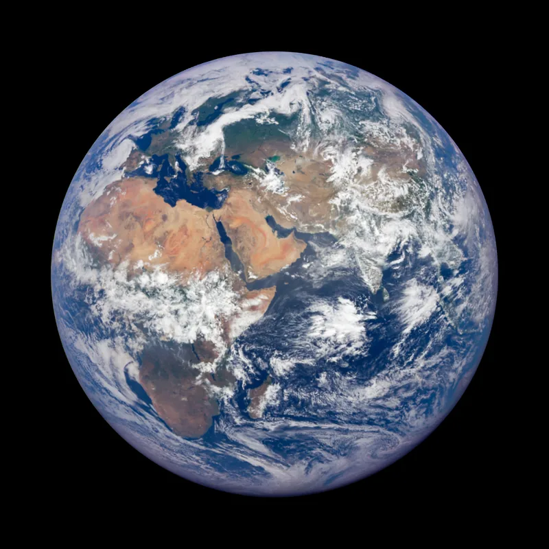
Earth as imaged by the EPIC instrument aboard the DSCOVR spacecraft more than a million kilometres away, 10 July 2025. NASA Space Place places aphelion in July; this July still is dated, and is not itself a measurement of aphelion. Satellite image: NASA / DSCOVR EPIC · Public domain · NASA / DSCOVR / Wikimedia Commons 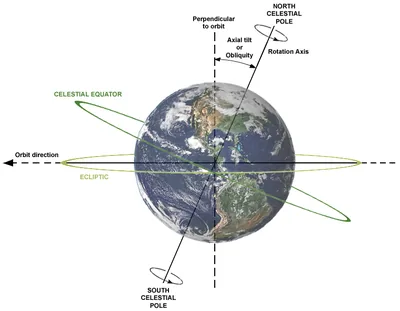
A 22 December 2007 diagram by Dna-webmaster, used under CC BY 3.0, with an Earth image from NASA. The file description: relations between axial tilt (or obliquity), rotation axis, plane of orbit, celestial equator and ecliptic. Earth is shown as viewed from the Sun; the orbit direction is counter-clockwise (to the left). Official tilt figures on this site come from the NASA and Met Office pages, not from this diagram’s labels. Diagram: Dna-webmaster (Earth image from NASA) · CC BY 3.0 · Dna-webmaster / NASA Earth image / Wikimedia Commons
Enjoyed a desk of official tilts, unblended figures, and a few seasonal stills?
No pop-ups. No intrusive advertising. Just interesting stuff. A little support helps the next climates.im site get built.